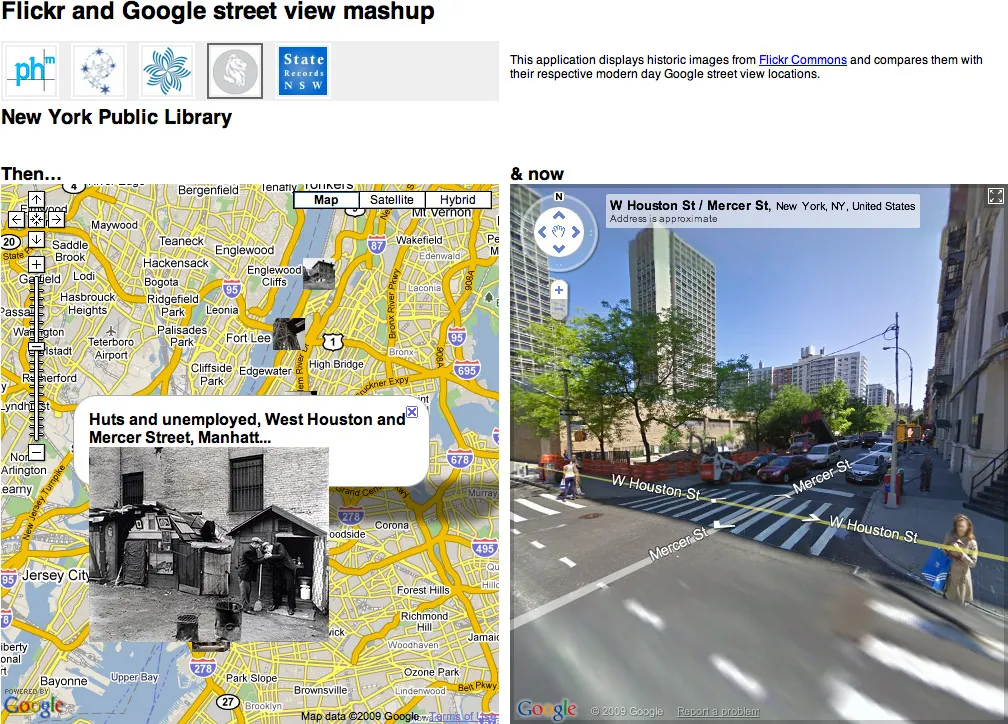
I’m intrigued by the possibilities for new interfaces things like Google Street View bring up. I was expecting full walkable VR setups and that sort of thing, but the projects that have actually been implemented are a bit more humble.
Here’s Tokyo Jogging a clever (if low frame rate) pairing of Street View and the WiiMote.
Stringing together Street View frames to create animation:
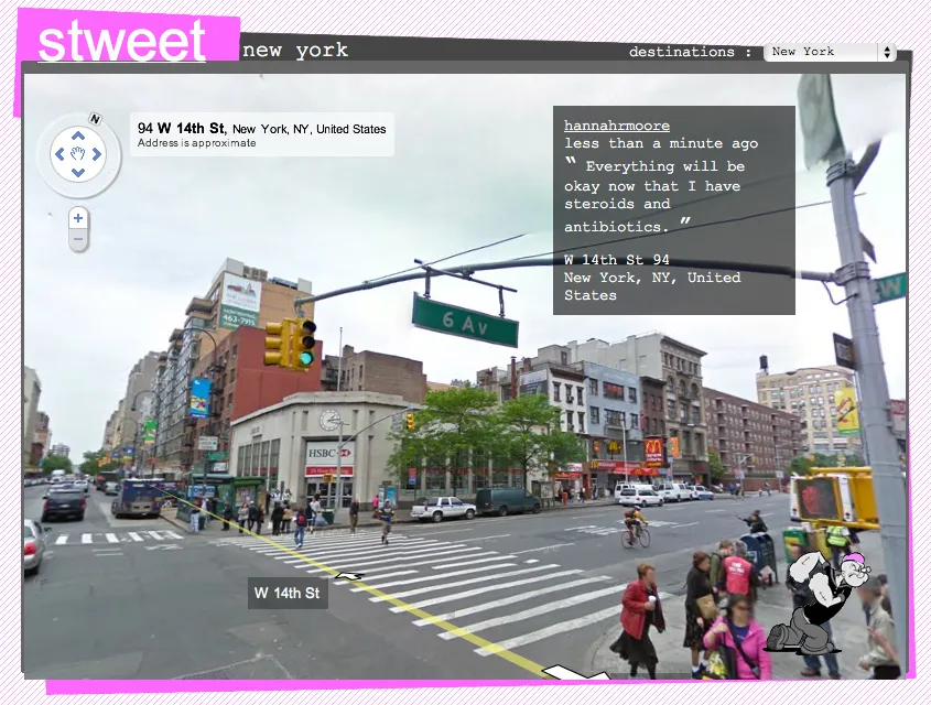
Stweet pairs Tweets and Street View
Pseudo-augmented reality panning interface. (This one’s pretty old — and while it makes a good demo, actually using it might be too much work compared to the iPhone’s more practical implementation.
Finally, I wanted to explore retracing a GPS-logged route using Street View for my response to Red’s M5 bus assignment. The results were a bit strange, but I think it brings up some of the contention between actually being somewhere and settling for Google’s approximation.
If anyone’s interested in exploring Street View in code, here’s a bit of processing code I wrote which will attempt to download and composite the panoramic image for any given address to lat / lon pairing.