Overview
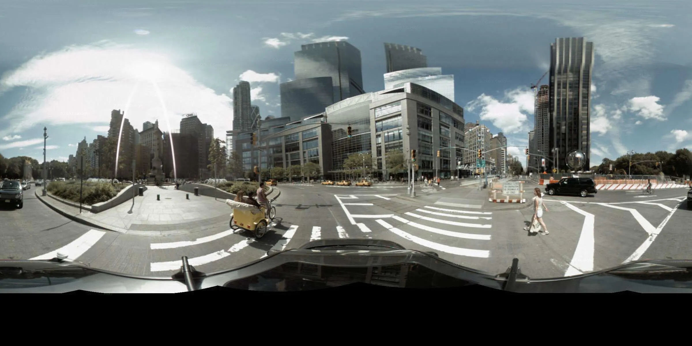
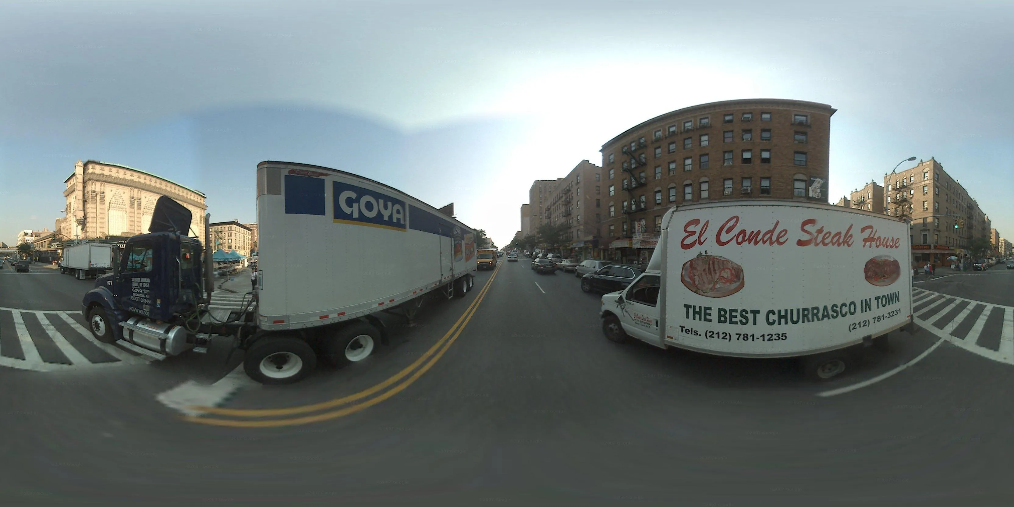
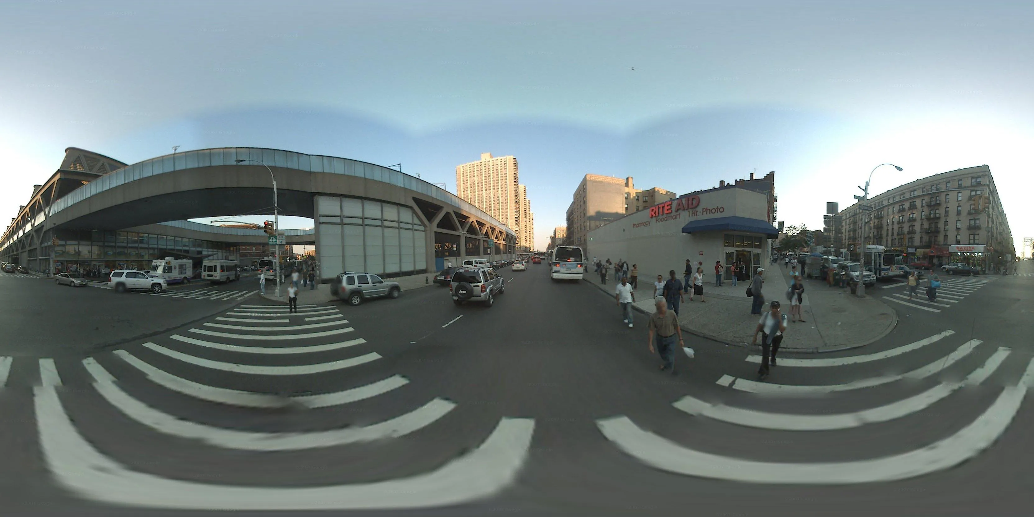
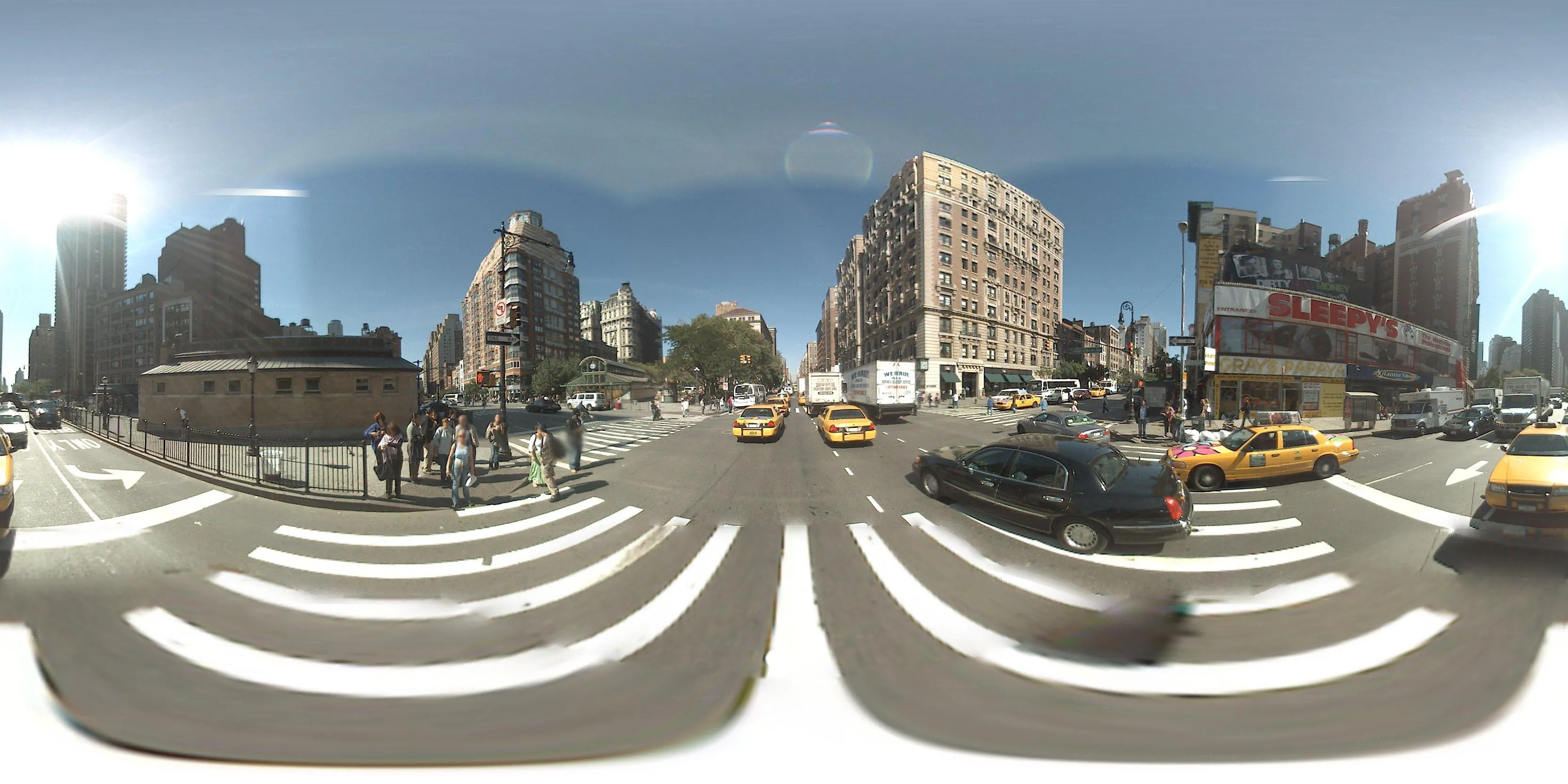
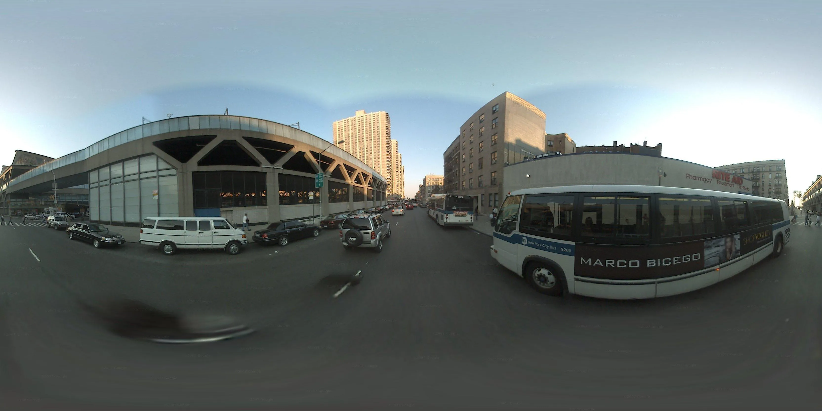
M5 documents a bus ride by leveraging two layers of ambient infrastructure: GPS, and Google Street View.
A GPS log was created with a smartphone during a ride of the entire length of the M5 bus route in Manhattan. This log was later ingested by custom software which finds the matching Street View panorama for each set of logged coordinates. The panorama is downloaded and stitched into a video, which is paced according to the timestamps of each GPS log entry to create a hyperlapse.
Additional details are discussed in a related post.
Images
Video
Components
- Custom software
- GPS Log
- Google Street View